
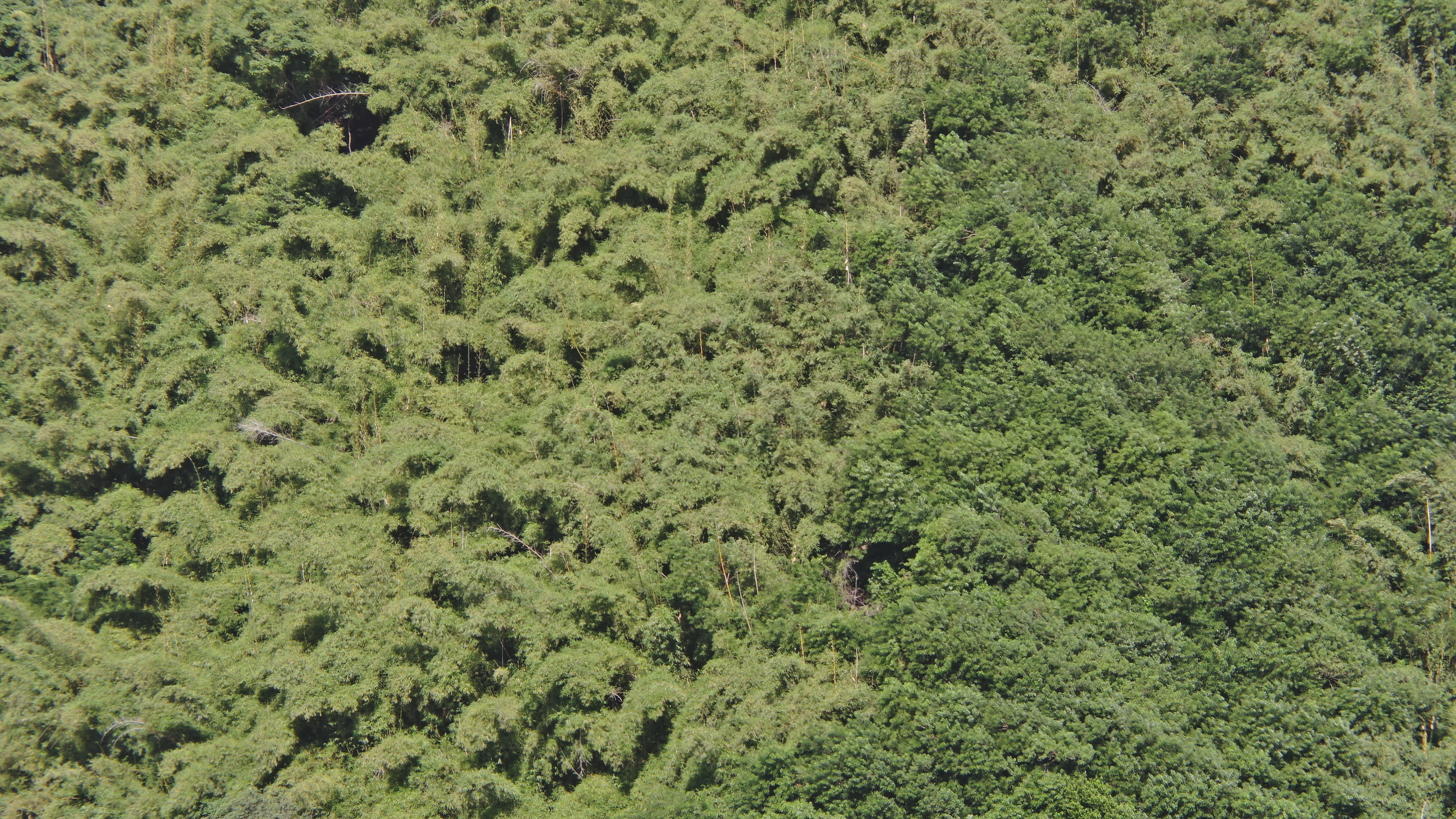
2022 (Image 12) Aerial Photography of Bad Rock
Aerial photography of Bad Rock located in 26-12 Windward Road, Belle Garden, St. Paul, Tobago for October 2022. The image is 9.54 MB on disk and has a dimension of 5184 x 2916.
추가 정보
| 필드 | 값 |
|---|---|
| 마지막으로 업데이트된 데이터 | 5월 28, 2024 |
| 마지막으로 업데이트된 메타데이터 | 5월 28, 2024 |
| 생성됨 | 5월 28, 2024 |
| 포맷 | image/jpeg |
| 라이센스 | Other (Attribution) |
| created | 1 년전 |
| format | JPEG |
| has views | True |
| id | 0a9ebc37-d4f6-45cc-804b-c475d34b05fc |
| last modified | 1 년전 |
| mimetype | image/jpeg |
| on same domain | True |
| package id | 474d660c-6c59-4aa0-aa09-1a6fe5abeecf |
| position | 12 |
| revision id | 0e9a59c7-46dc-4f84-b1be-ebefd84641a7 |
| size | 9.5 MiB |
| state | active |
| url type | upload |