
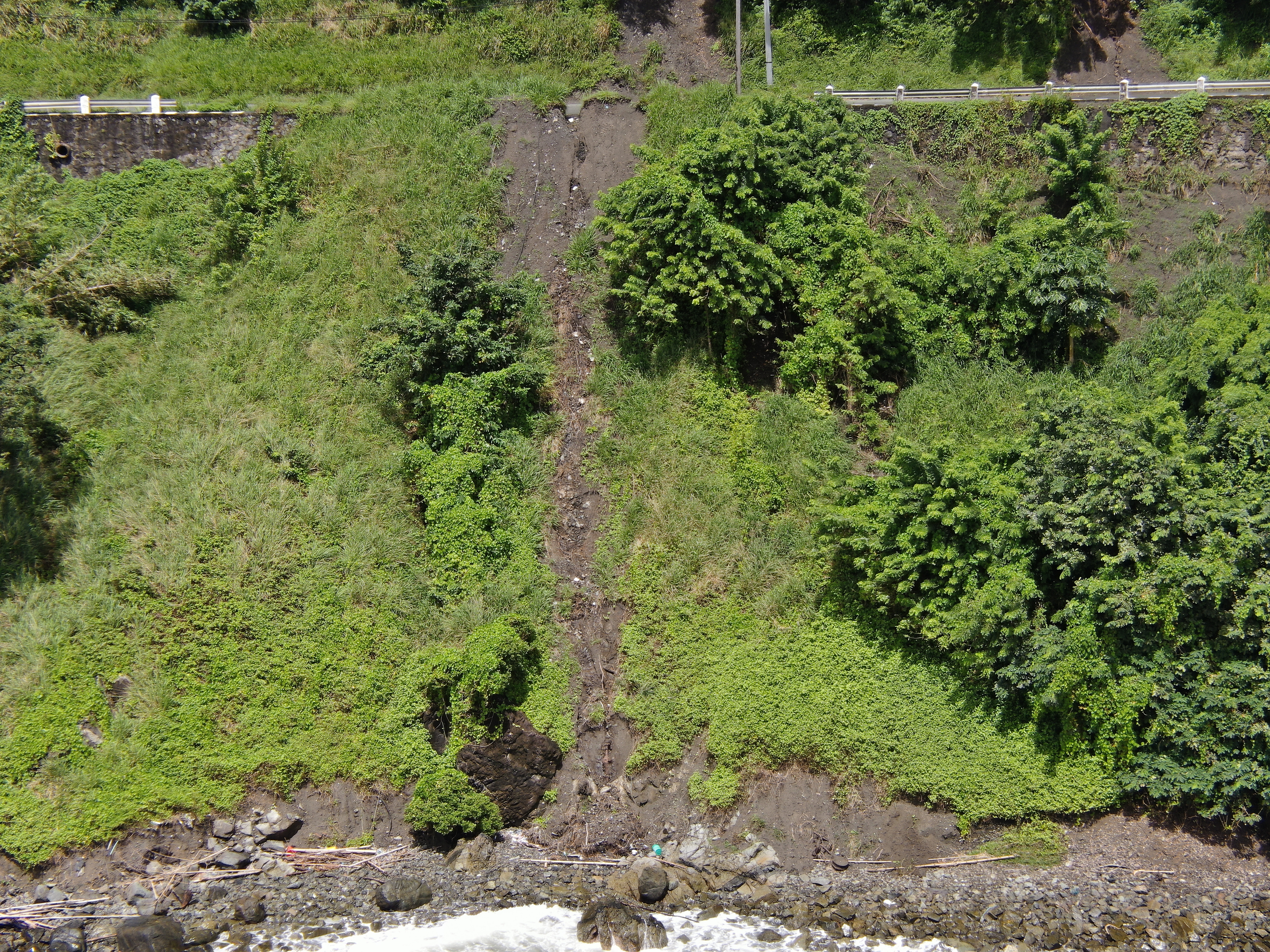
2022 (Image 99) Aerial Photography of Bad Rock
Aerial photography of Bad Rock located in 26-12 Windward Road, Belle Garden, St. Paul, Tobago for October 2022. The image is 16.3 MB on disk and has a dimension of 5184 x 3888.
追加情報
| フィールド | 値 |
|---|---|
| 最終更新日 | 2024 / 5月 / 28, |
| メタデータ最終更新日時 | 2024 / 5月 / 28, |
| 作成日 | 2024 / 5月 / 28, |
| データ形式 | image/jpeg |
| ライセンス | Other (Attribution) |
| created | 12 月前 |
| format | JPEG |
| has views | True |
| id | f0a11445-7ba3-404b-86d1-4cdc5ff03bca |
| last modified | 12 月前 |
| mimetype | image/jpeg |
| on same domain | True |
| package id | 474d660c-6c59-4aa0-aa09-1a6fe5abeecf |
| position | 99 |
| revision id | 0e9a59c7-46dc-4f84-b1be-ebefd84641a7 |
| size | 16.3 MiB |
| state | active |
| url type | upload |