
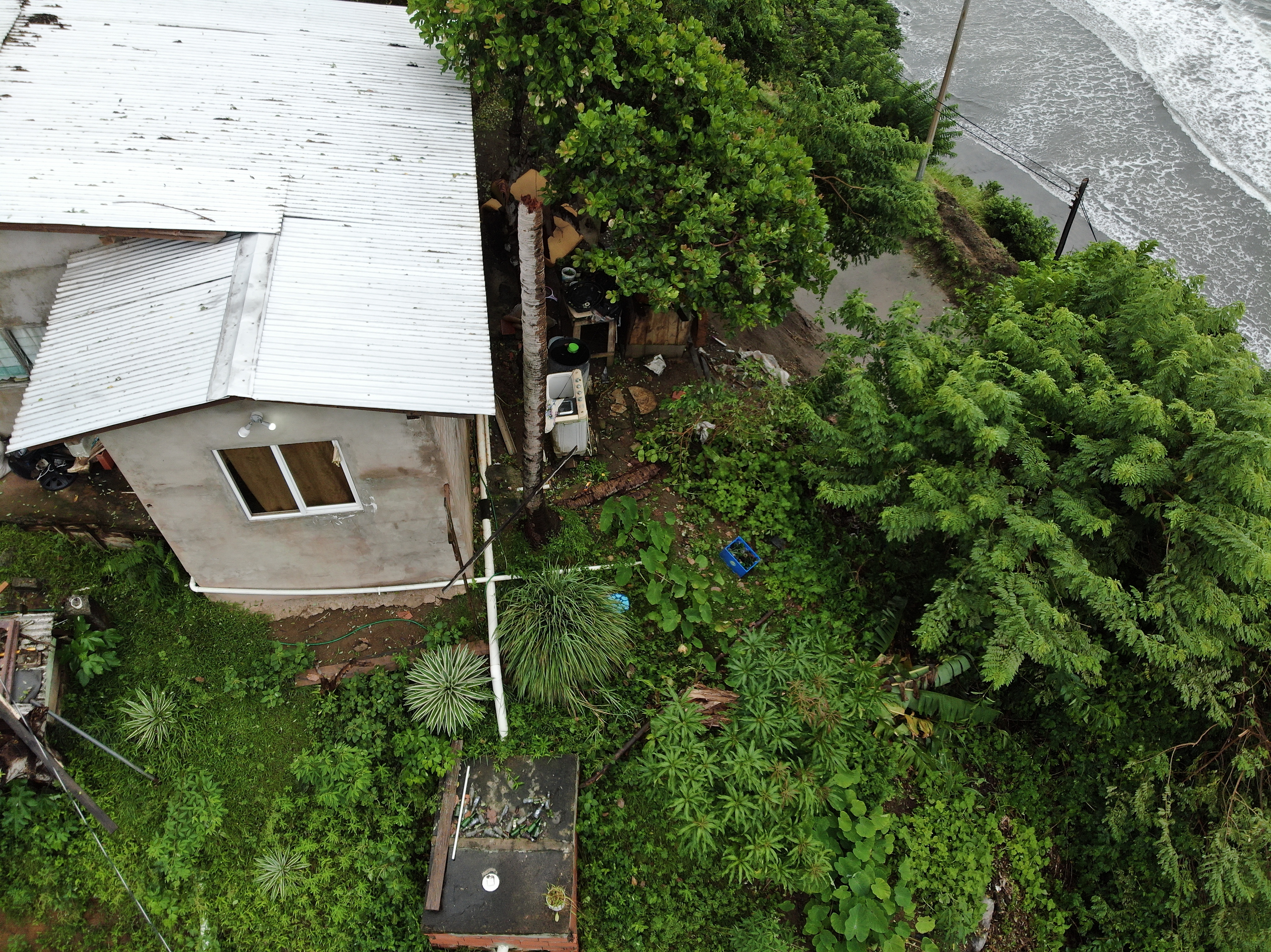
2022 (Image 2) Aerial Photography of Bad Rock
Aerial photography of Bad Rock located in 26-12 Windward Road, Belle Garden, St. Paul, Tobago for October 2022. The image is 7.44 MB on disk and has a dimension of 4056 x 3040.
Viðbótarupplýsingar
| Svæði | Gildi |
|---|---|
| Data last updated | 3 maí, 2024 |
| Metadata last updated | 3 maí, 2024 |
| Stofnað | 3 maí, 2024 |
| Skráasnið | image/jpeg |
| Leyfisskilmálar | Creative Commons Attribution |
| created | meira en 1 ár síðan |
| format | JPEG |
| has views | True |
| id | d09ef89d-0b3d-4357-958c-44dfdf8db170 |
| last modified | meira en 1 ár síðan |
| mimetype | image/jpeg |
| on same domain | True |
| package id | c59b2518-d3de-4ef5-b6aa-cd00fda3711d |
| position | 2 |
| revision id | 6cfef4e6-5b7b-4d88-9382-138dc8b8c511 |
| size | 7,4 MiB |
| state | active |
| url type | upload |