
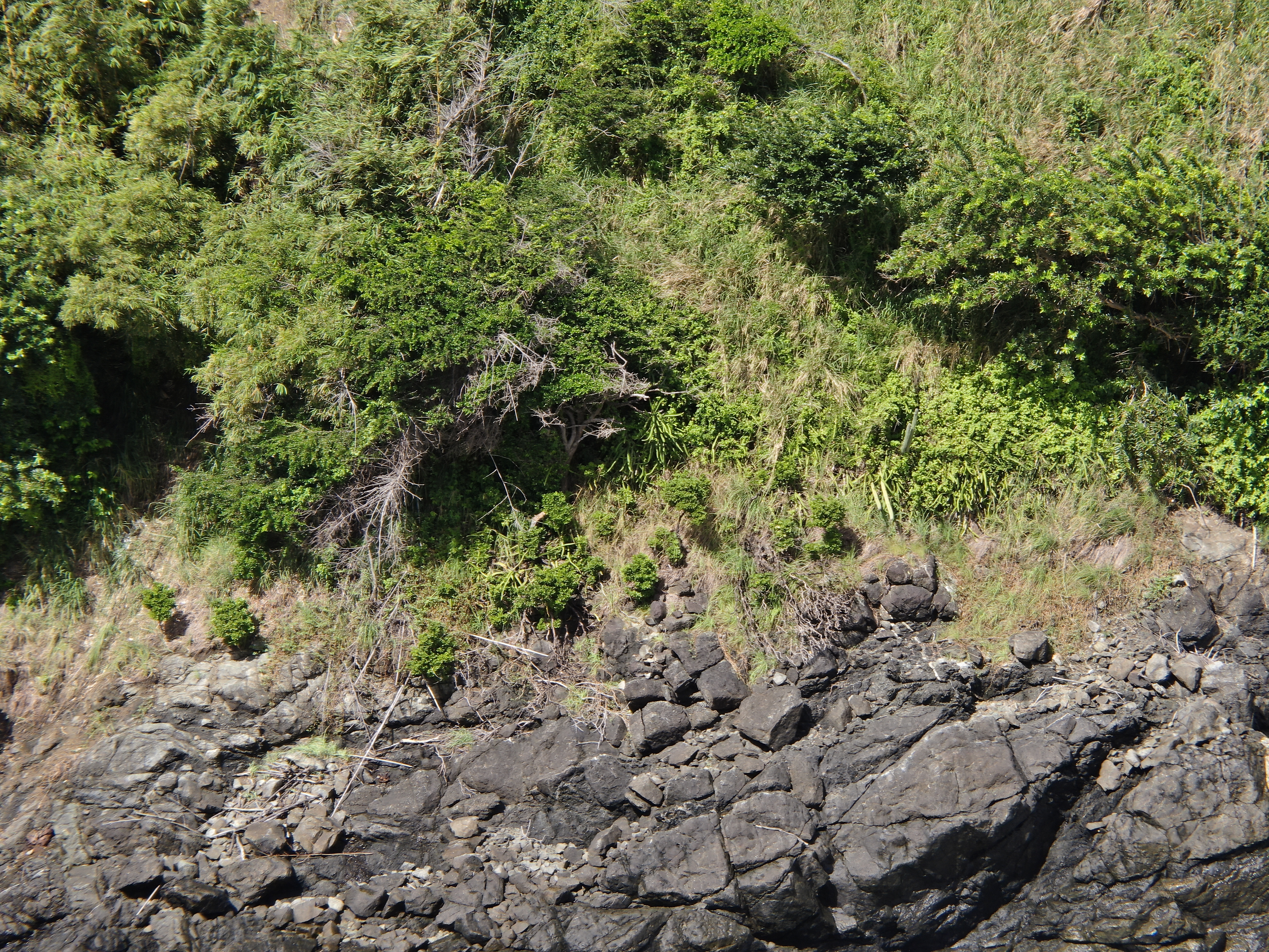
2022 (Image 56) Aerial Photography of Bad Rock
Aerial photography of Bad Rock located in 26-12 Windward Road, Belle Garden, St. Paul, Tobago for October 2022. The image is 14.2 MB on disk and has a dimension of 5184 x 3888.
Dodаtne informаcije
| Polje | Vrijednost |
|---|---|
| Data last updated | 28. Svibanj 2024 |
| Metadata last updated | 28. Svibanj 2024 |
| Kreirаno | 28. Svibanj 2024 |
| Formаt | image/jpeg |
| Licencа | Other (Attribution) |
| created | Prije više od 1 godinu |
| format | JPEG |
| has views | True |
| id | de844b48-186b-4cc2-9d6e-e7d4c88eb893 |
| last modified | Prije više od 1 godinu |
| mimetype | image/jpeg |
| on same domain | True |
| package id | 474d660c-6c59-4aa0-aa09-1a6fe5abeecf |
| position | 56 |
| revision id | 0e9a59c7-46dc-4f84-b1be-ebefd84641a7 |
| size | 14,2 MiB |
| state | active |
| url type | upload |