
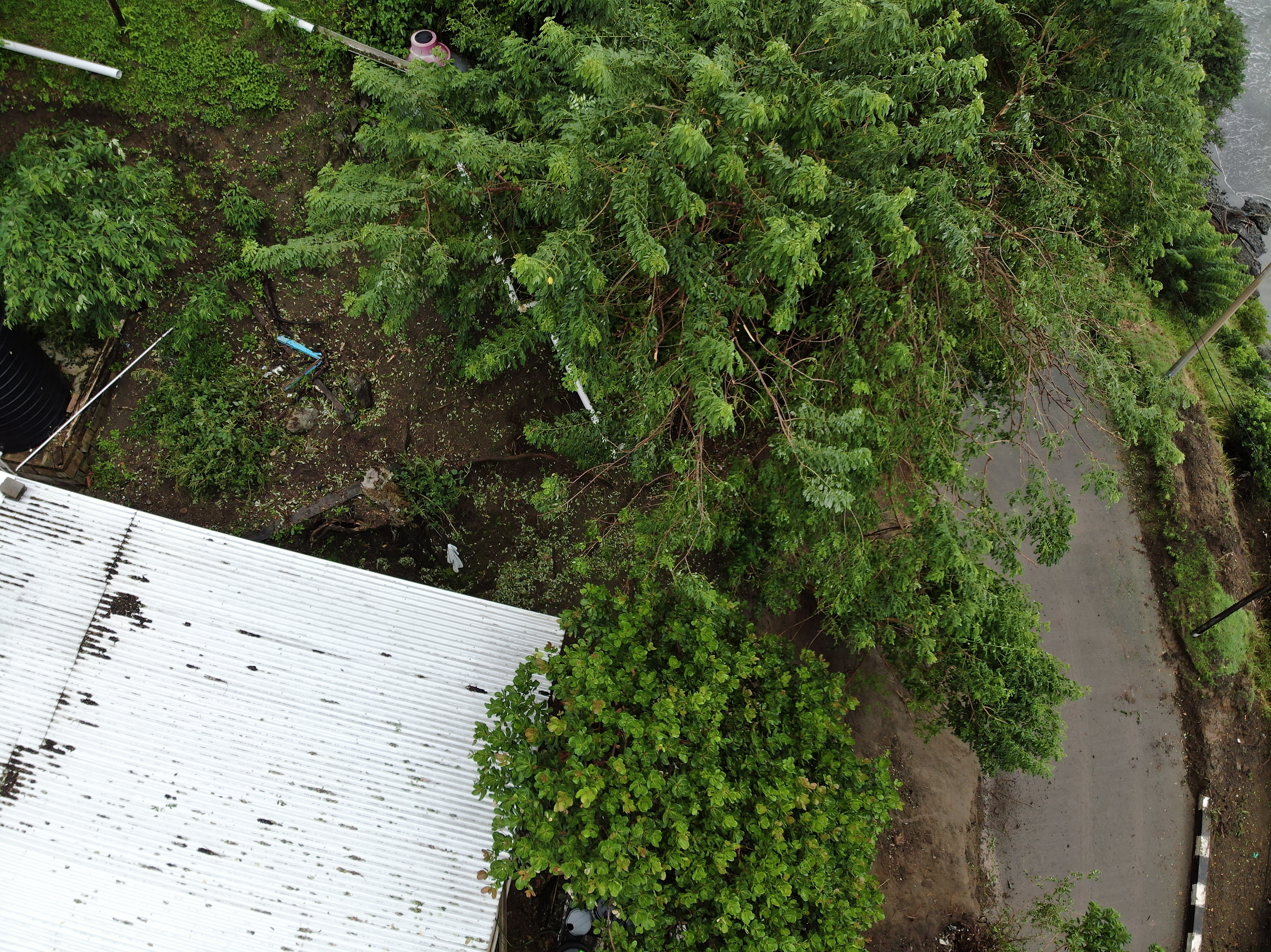
2022 (Image 5) Aerial Photography of Bad Rock
Aerial photography of Bad Rock located in 26-12 Windward Road, Belle Garden, St. Paul, Tobago for October 2022. The image is 7.84 MB on disk and has a dimension of 4056 x 3040.
其他信息
| 域 | 价值 |
|---|---|
| Data last updated | 五月 3, 2024 |
| Metadata last updated | 五月 3, 2024 |
| 创建的 | 五月 3, 2024 |
| 格式 | image/jpeg |
| 授权 | Creative Commons Attribution |
| created | 1年前 |
| format | JPEG |
| has views | True |
| id | c5771f5f-3df9-4c08-aba9-5826228fad96 |
| last modified | 1年前 |
| mimetype | image/jpeg |
| on same domain | True |
| package id | c59b2518-d3de-4ef5-b6aa-cd00fda3711d |
| position | 5 |
| revision id | 8a3d2624-f2e7-493d-abaf-88c0a5d4ae10 |
| size | 7.8 MiB |
| state | active |
| url type | upload |