
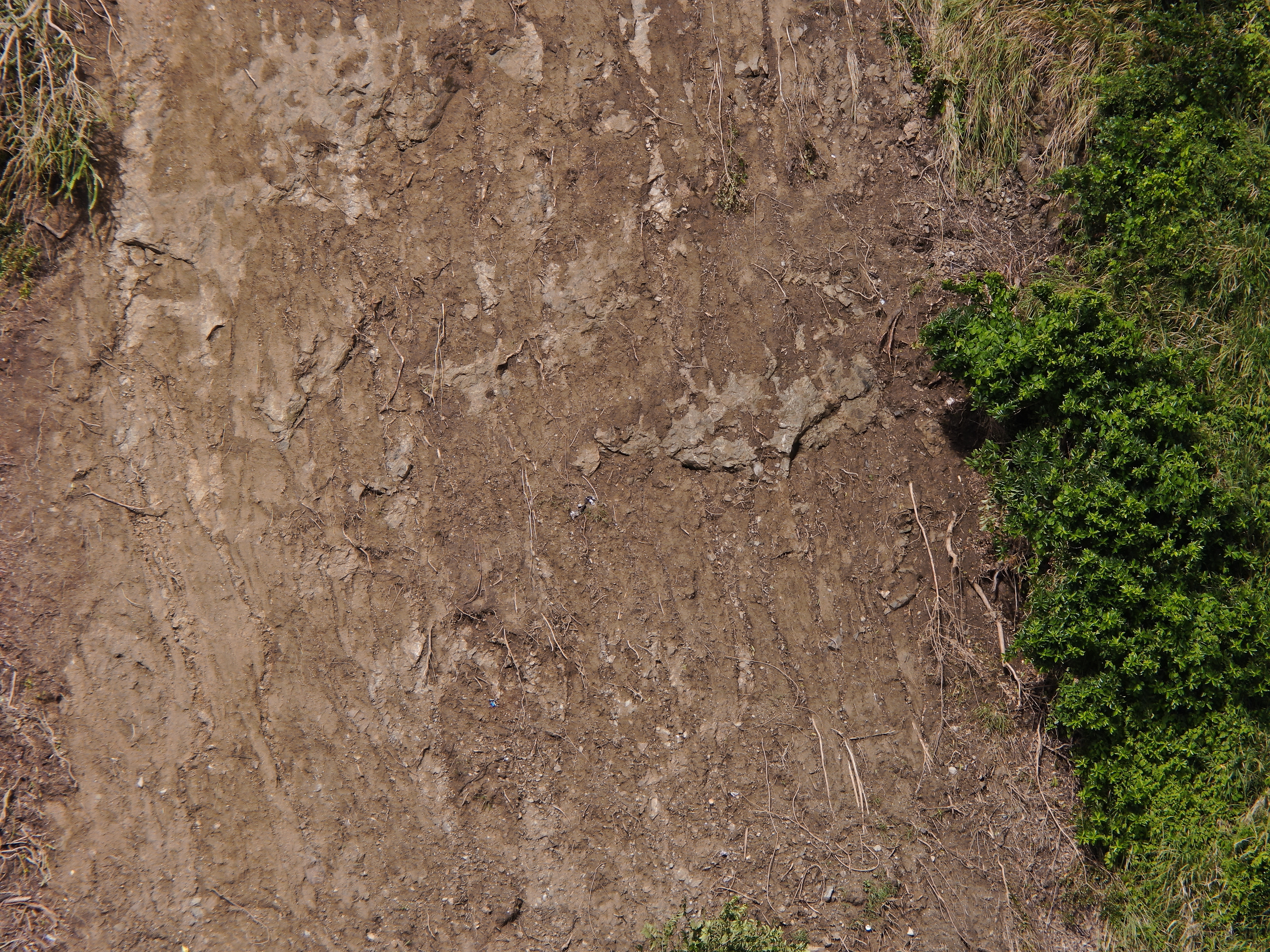
2022 (Image 36) Aerial Photography of Bad Rock
Aerial photography of Bad Rock located in 26-12 Windward Road, Belle Garden, St. Paul, Tobago for October 2022. The image is 13.8 MB on disk and has a dimension of 5184 x 3888.
Thông tin khác
| Miền | Giá trị |
|---|---|
| Data last updated | Tháng 5 28, 2024 |
| Metadata last updated | Tháng 5 28, 2024 |
| Được tạo ra | Tháng 5 28, 2024 |
| Định dạng | image/jpeg |
| Giấy phép | Other (Attribution) |
| created | Hơn 1 vài năm trước |
| format | JPEG |
| has views | True |
| id | 3fda5a68-7575-4b42-8d62-b86cb77de4fc |
| last modified | Hơn 1 vài năm trước |
| mimetype | image/jpeg |
| on same domain | True |
| package id | 474d660c-6c59-4aa0-aa09-1a6fe5abeecf |
| position | 36 |
| revision id | 0e9a59c7-46dc-4f84-b1be-ebefd84641a7 |
| size | 13,8 MiB |
| state | active |
| url type | upload |