
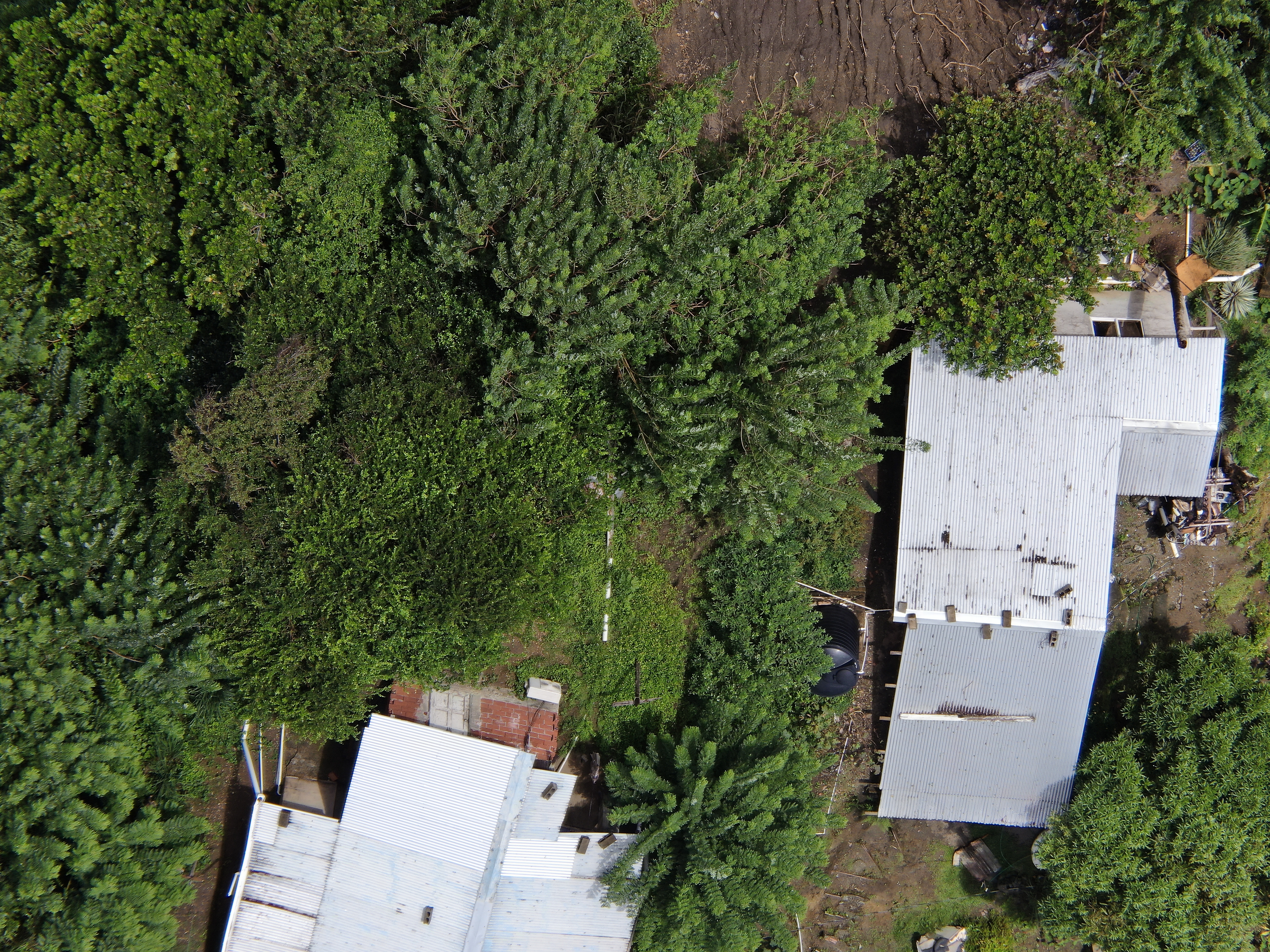
2022 (Image 62) Aerial Photography of Bad Rock
Aerial photography of Bad Rock located in 26-12 Windward Road, Belle Garden, St. Paul, Tobago for October 2022. The image is 13.9 MB on disk and has a dimension of 5184 x 3888.
Doplňujúce informácie
| Pole | Hodnota |
|---|---|
| Data last updated | 28 Máj, 2024 |
| Metadata last updated | 28 Máj, 2024 |
| Vytvorené | 28 Máj, 2024 |
| Formát | image/jpeg |
| Licencia | Other (Attribution) |
| created | pred 12 mesiacmi |
| format | JPEG |
| has views | True |
| id | 62048fae-9874-42fa-af61-e7654a3fb4dd |
| last modified | pred 12 mesiacmi |
| mimetype | image/jpeg |
| on same domain | True |
| package id | 474d660c-6c59-4aa0-aa09-1a6fe5abeecf |
| position | 62 |
| revision id | 0e9a59c7-46dc-4f84-b1be-ebefd84641a7 |
| size | 13,9 MB |
| state | active |
| url type | upload |