
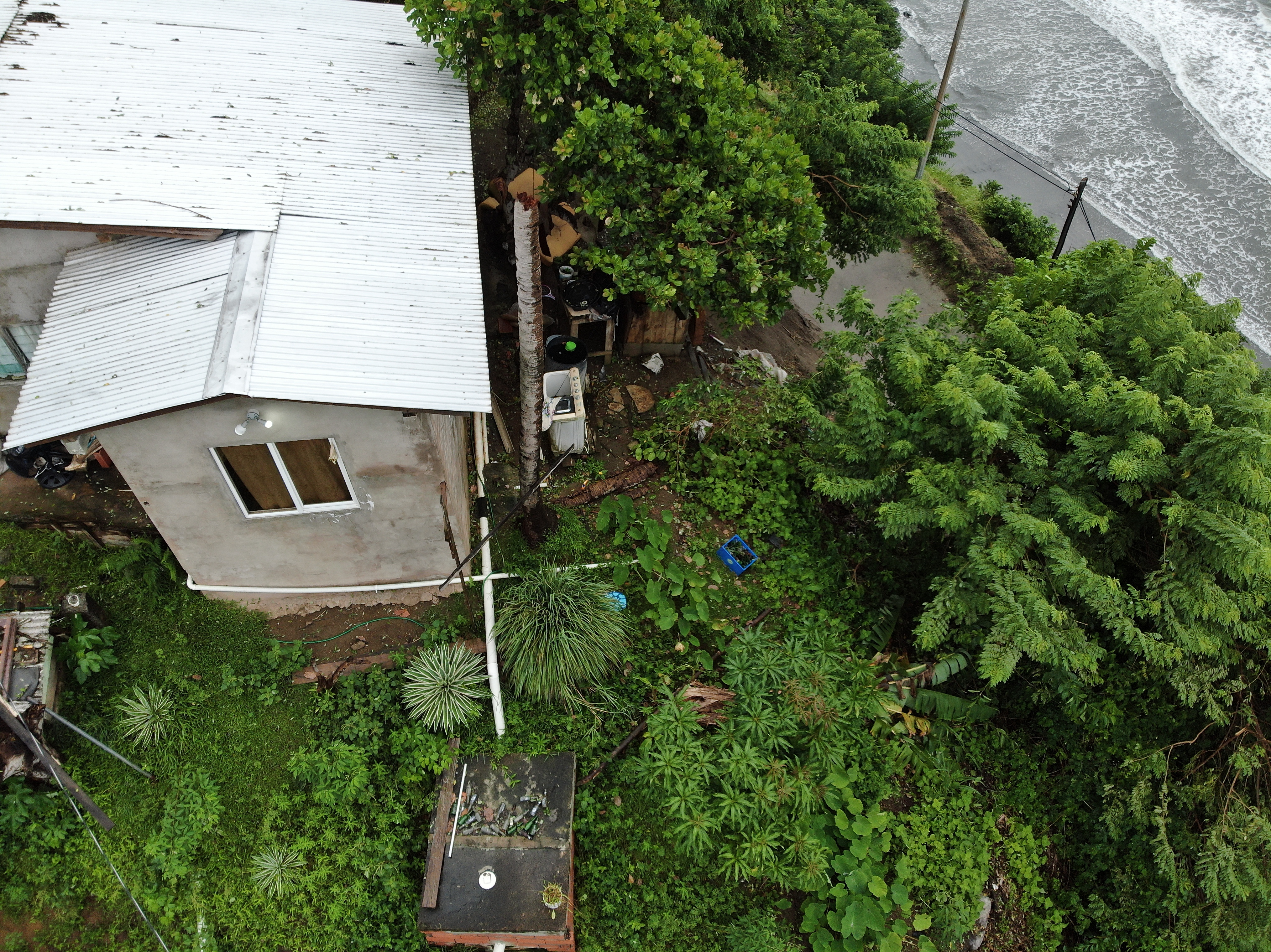
2022 (Image 1) Aerial Photography of Bad Rock
Aerial photography of Bad Rock located in 26-12 Windward Road, Belle Garden, St. Paul, Tobago for October 2022. The image is 7.45 MB on disk and has a dimension of 4056 x 3040.
추가 정보
| 필드 | 값 |
|---|---|
| 마지막으로 업데이트된 데이터 | 5월 3, 2024 |
| 마지막으로 업데이트된 메타데이터 | 5월 3, 2024 |
| 생성됨 | 5월 3, 2024 |
| 포맷 | image/jpeg |
| 라이센스 | Creative Commons Attribution |
| created | 1 년전 |
| format | JPEG |
| has views | True |
| id | df4b094a-8345-4440-95f9-efc2f8d27290 |
| last modified | 1 년전 |
| mimetype | image/jpeg |
| on same domain | True |
| package id | c59b2518-d3de-4ef5-b6aa-cd00fda3711d |
| position | 1 |
| revision id | 1542ec70-e07c-41bb-9260-87119136aa73 |
| size | 7.4 MiB |
| state | active |
| url type | upload |