
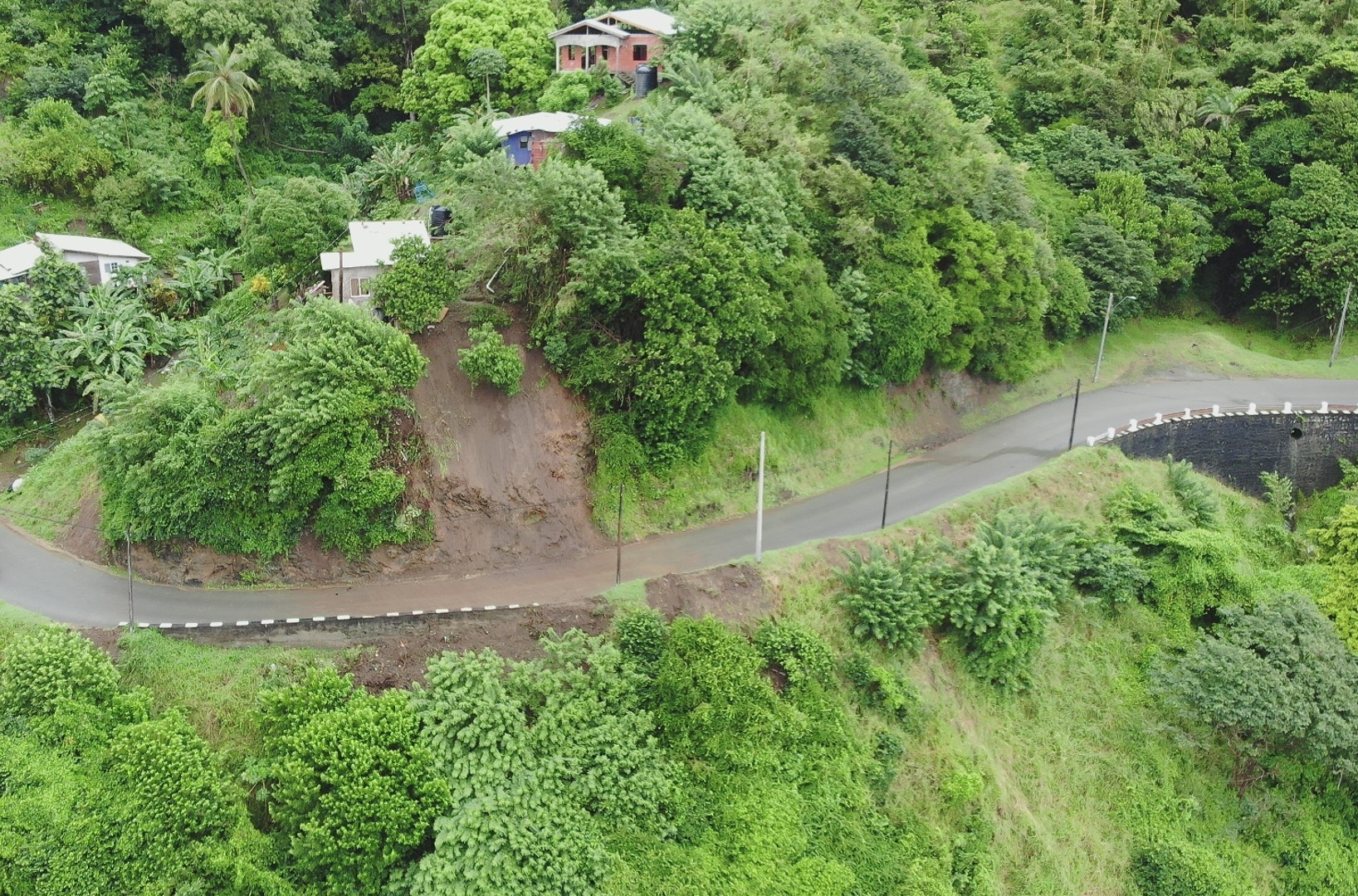
2022 (Image 32) Aerial Photography of Bad Rock
Aerial photography of Bad Rock located in 26-12 Windward Road, Belle Garden, St. Paul, Tobago for October 2022. The image is 816 KB on disk and has a dimension of 1636 x 1080.
追加情報
| フィールド | 値 |
|---|---|
| 最終更新日 | 2024 / 5月 / 3, |
| メタデータ最終更新日時 | 2024 / 5月 / 3, |
| 作成日 | 2024 / 5月 / 3, |
| データ形式 | image/jpeg |
| ライセンス | Creative Commons Attribution |
| created | 1 年以上前 |
| format | JPEG |
| has views | True |
| id | 44a27fb8-5362-4689-822e-2935bd26e5c5 |
| last modified | 1 年以上前 |
| mimetype | image/jpeg |
| on same domain | True |
| package id | c59b2518-d3de-4ef5-b6aa-cd00fda3711d |
| position | 32 |
| revision id | fac6cf66-c42a-459c-9763-4dce73cd47b4 |
| size | 816.6 KiB |
| state | active |
| url type | upload |