
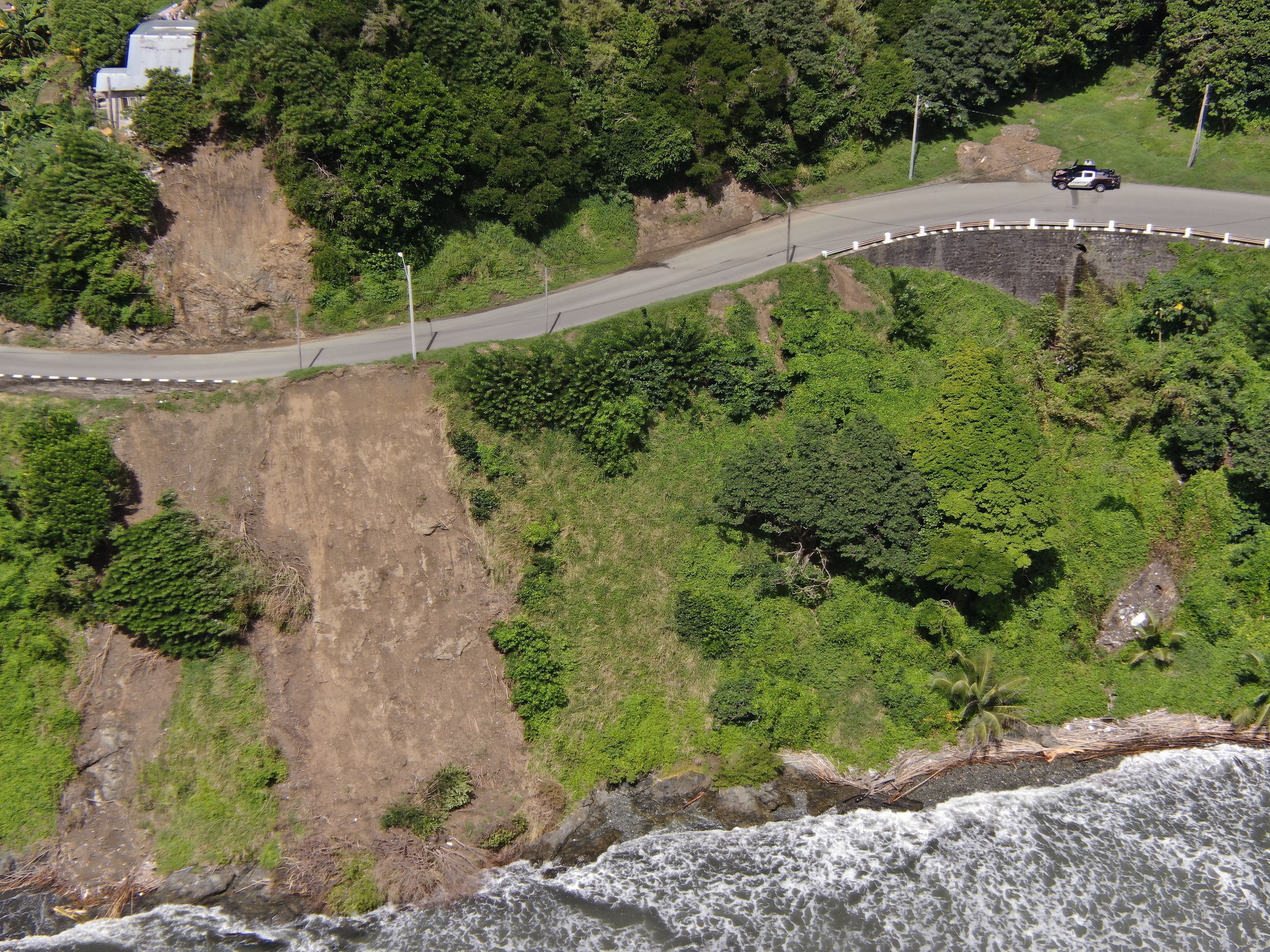
2022 (Image 31) Aerial Photography of Bad Rock
Aerial photography of Bad Rock located in 26-12 Windward Road, Belle Garden, St. Paul, Tobago for October 2022. The image is 12.8 MB on disk and has a dimension of 5184 x 3888.
Informations additionnelles
| Champ | Valeur |
|---|---|
| Dernière modification de la donnée | 28 Mai 2024 |
| Dernière modification de la métadonnée | 28 Mai 2024 |
| Créé le | 28 Mai 2024 |
| Format | image/jpeg |
| Licence | Other (Attribution) |
| created | Il y a plus de 1 an |
| format | JPEG |
| has views | True |
| id | a3e0629a-378c-49c7-ba90-a33b76763f74 |
| last modified | Il y a plus de 1 an |
| mimetype | image/jpeg |
| on same domain | True |
| package id | 474d660c-6c59-4aa0-aa09-1a6fe5abeecf |
| position | 31 |
| revision id | 0e9a59c7-46dc-4f84-b1be-ebefd84641a7 |
| size | 12,8 mébi |
| state | active |
| url type | upload |