
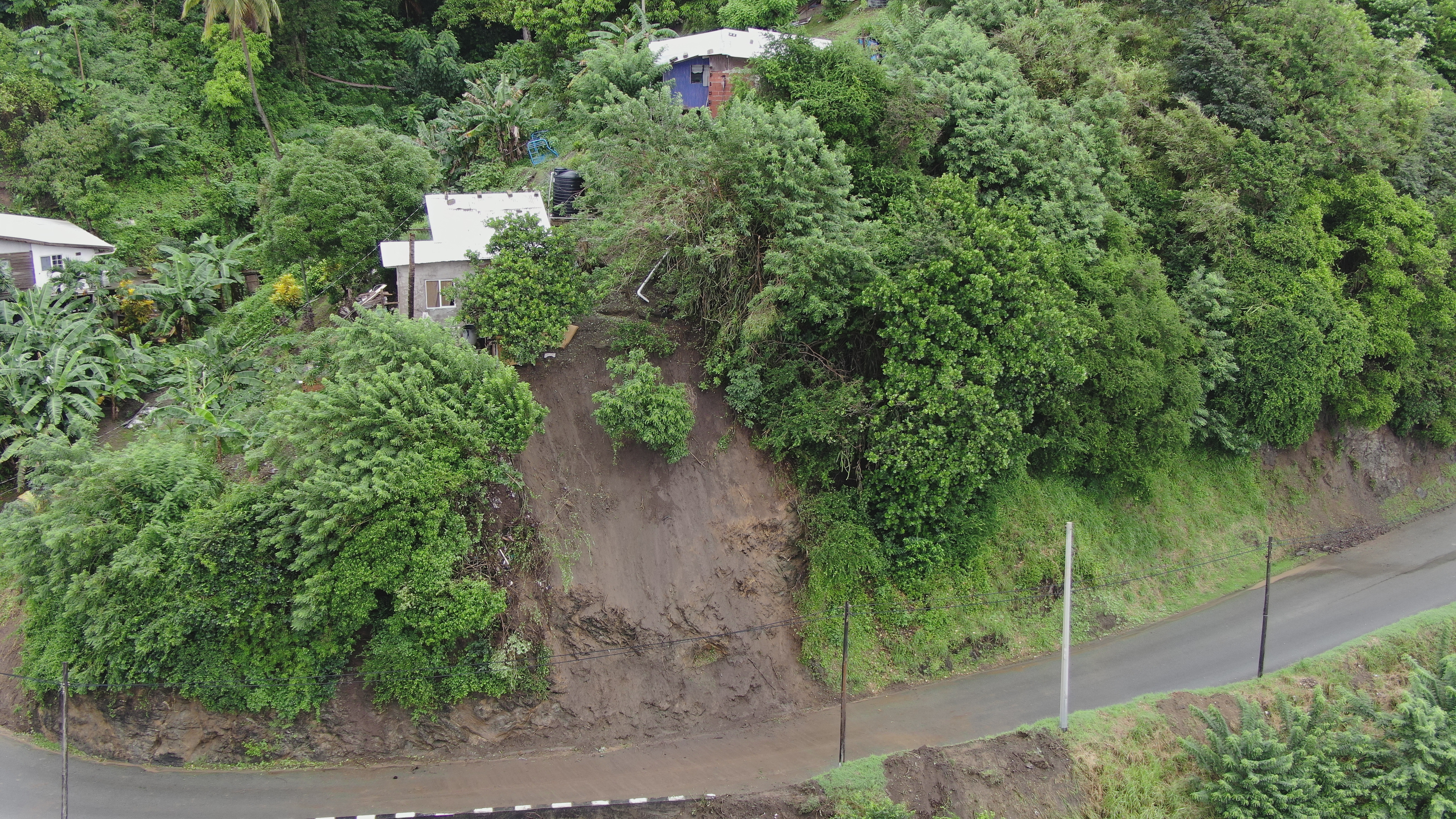
2022 (Image 37) Aerial Photography of Bad Rock
Aerial photography of Bad Rock located in 26-12 Windward Road, Belle Garden, St. Paul, Tobago for October 2022. The image is 10.4 MB on disk and has a dimension of 5184 x 2916.
Informations additionnelles
| Champ | Valeur |
|---|---|
| Dernière modification de la donnée | 3 Mai 2024 |
| Dernière modification de la métadonnée | 3 Mai 2024 |
| Créé le | 3 Mai 2024 |
| Format | image/jpeg |
| Licence | Creative Commons Attribution |
| created | Il y a plus de 1 an |
| format | JPEG |
| has views | True |
| id | 99d74587-0c56-4d1a-83b9-8943609b97b0 |
| last modified | Il y a plus de 1 an |
| mimetype | image/jpeg |
| on same domain | True |
| package id | c59b2518-d3de-4ef5-b6aa-cd00fda3711d |
| position | 37 |
| revision id | fac6cf66-c42a-459c-9763-4dce73cd47b4 |
| size | 10,4 mébi |
| state | active |
| url type | upload |