
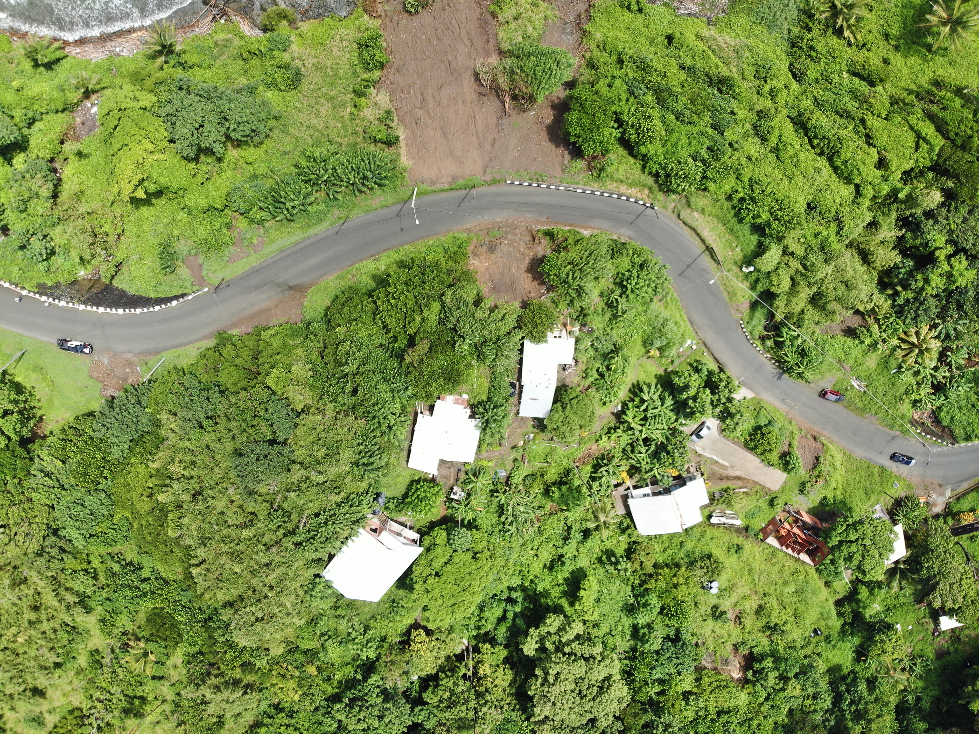
2022 (Image 61) Aerial Photography of Bad Rock
Aerial photography of Bad Rock located in 26-12 Windward Road, Belle Garden, St. Paul, Tobago for October 2022. The image is 9.15 MB on disk and has a dimension of 4056 x 3040.
Información adicional
| Campo | Valor |
|---|---|
| Última actualización de los datos | Mayo 28, 2024 |
| Última actualización de los metadatos | Mayo 28, 2024 |
| Creado | Mayo 28, 2024 |
| Formato | image/jpeg |
| Licencia | Other (Attribution) |
| created | hace 1 año |
| format | JPEG |
| has views | True |
| id | 034d19b8-e88b-42e2-a433-e23158f18392 |
| last modified | hace 1 año |
| mimetype | image/jpeg |
| on same domain | True |
| package id | 474d660c-6c59-4aa0-aa09-1a6fe5abeecf |
| position | 61 |
| revision id | 0e9a59c7-46dc-4f84-b1be-ebefd84641a7 |
| size | 9,1 MiB |
| state | active |
| url type | upload |