
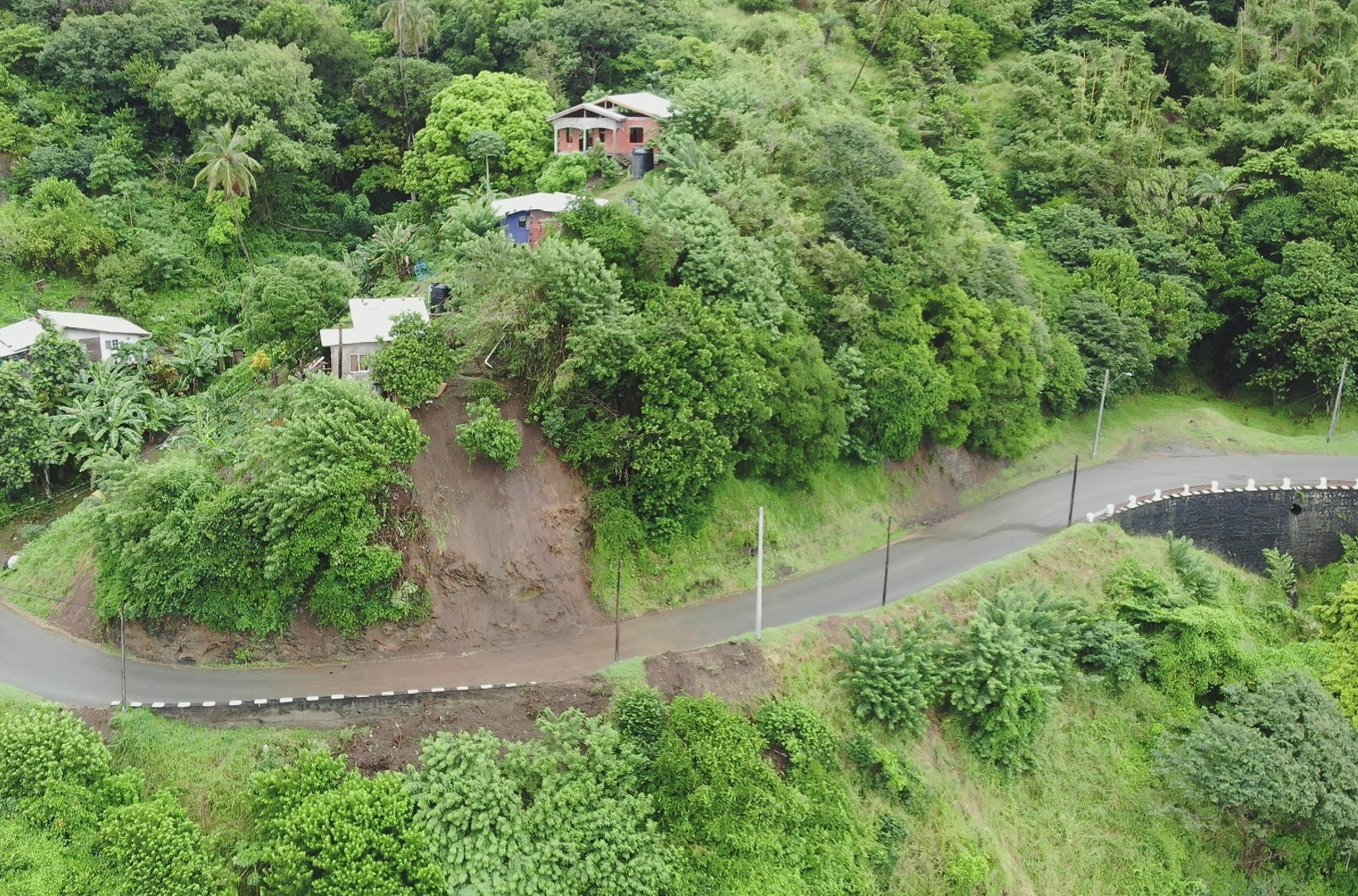
2022 (Image 34) Aerial Photography of Bad Rock
Aerial photography of Bad Rock located in 26-12 Windward Road, Belle Garden, St. Paul, Tobago for October 2022. The image is 807 KB on disk and has a dimension of 1637 x 1080.
Zusätzliche Informationen
| Feld | Wert |
|---|---|
| Daten wurden zuletzt aktualisiert | 3. Mai 2024 |
| Metadaten zuletzt aktualisiert | 3. Mai 2024 |
| Erstellt | 3. Mai 2024 |
| Format | image/jpeg |
| Lizenz | Creative Commons Attribution |
| created | vor über 1 Jahr |
| format | JPEG |
| has views | True |
| id | 6157a923-2bbc-453b-a429-ede936692d3d |
| last modified | vor über 1 Jahr |
| mimetype | image/jpeg |
| on same domain | True |
| package id | c59b2518-d3de-4ef5-b6aa-cd00fda3711d |
| position | 34 |
| revision id | fac6cf66-c42a-459c-9763-4dce73cd47b4 |
| size | 807,5 KiB |
| state | active |
| url type | upload |