
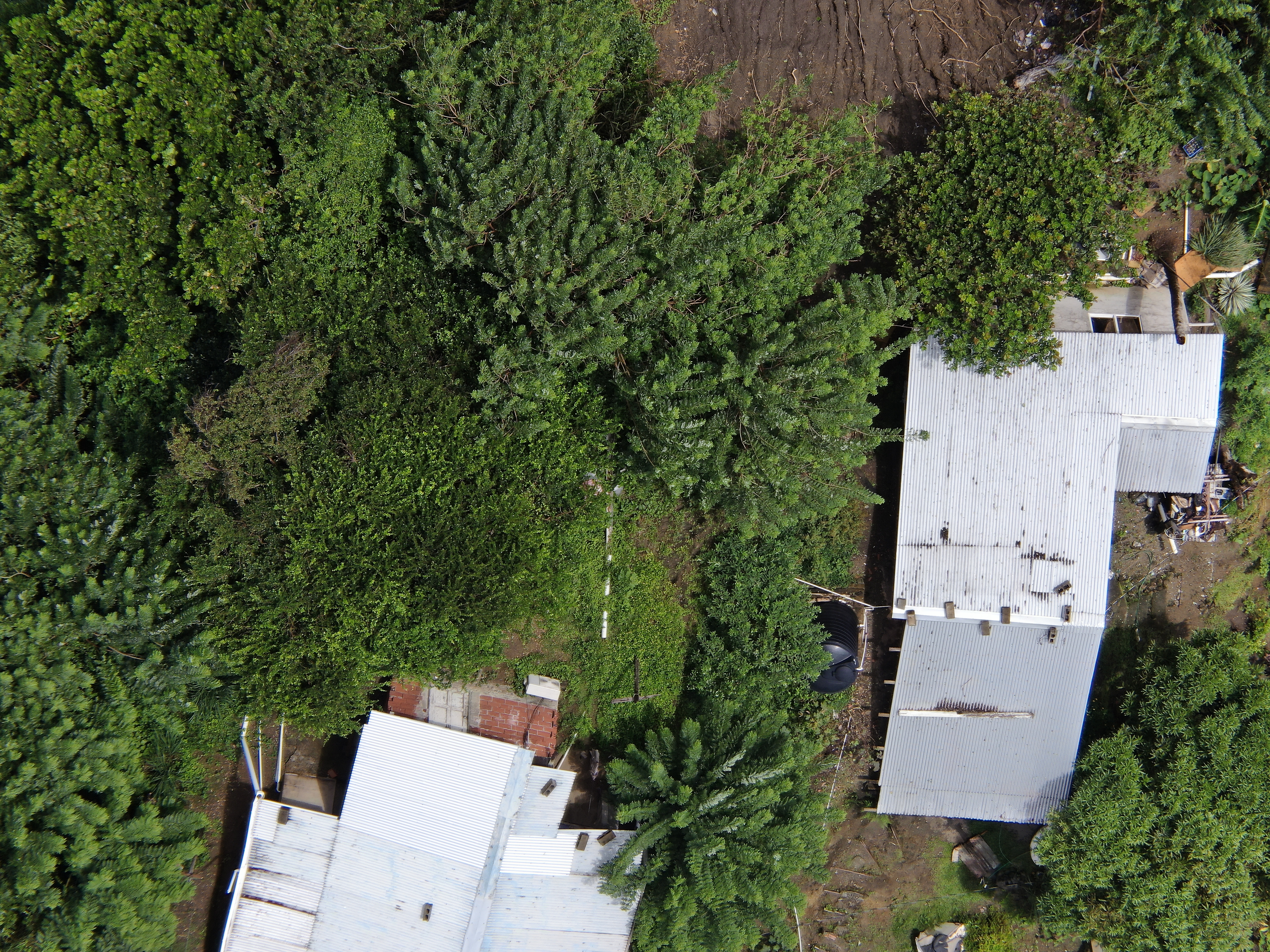
2022 (Image 64) Aerial Photography of Bad Rock
Aerial photography of Bad Rock located in 26-12 Windward Road, Belle Garden, St. Paul, Tobago for October 2022. The image is 13.8 MB on disk and has a dimension of 5184 x 3888.
Additional Information
| Field | Value |
|---|---|
| Data last updated | May 28, 2024 |
| Metadata last updated | May 28, 2024 |
| Created | May 28, 2024 |
| Format | image/jpeg |
| License | Other (Attribution) |
| created | over 1 year ago |
| format | JPEG |
| has views | True |
| id | 174a9461-5c9b-4f1f-888a-b006a030ff8b |
| last modified | over 1 year ago |
| mimetype | image/jpeg |
| on same domain | True |
| package id | 474d660c-6c59-4aa0-aa09-1a6fe5abeecf |
| position | 64 |
| revision id | 0e9a59c7-46dc-4f84-b1be-ebefd84641a7 |
| size | 13.8 MiB |
| state | active |
| url type | upload |